*STOP PRESS*

  October 2004   Launch of Thriplow Time Trails, our new book. 
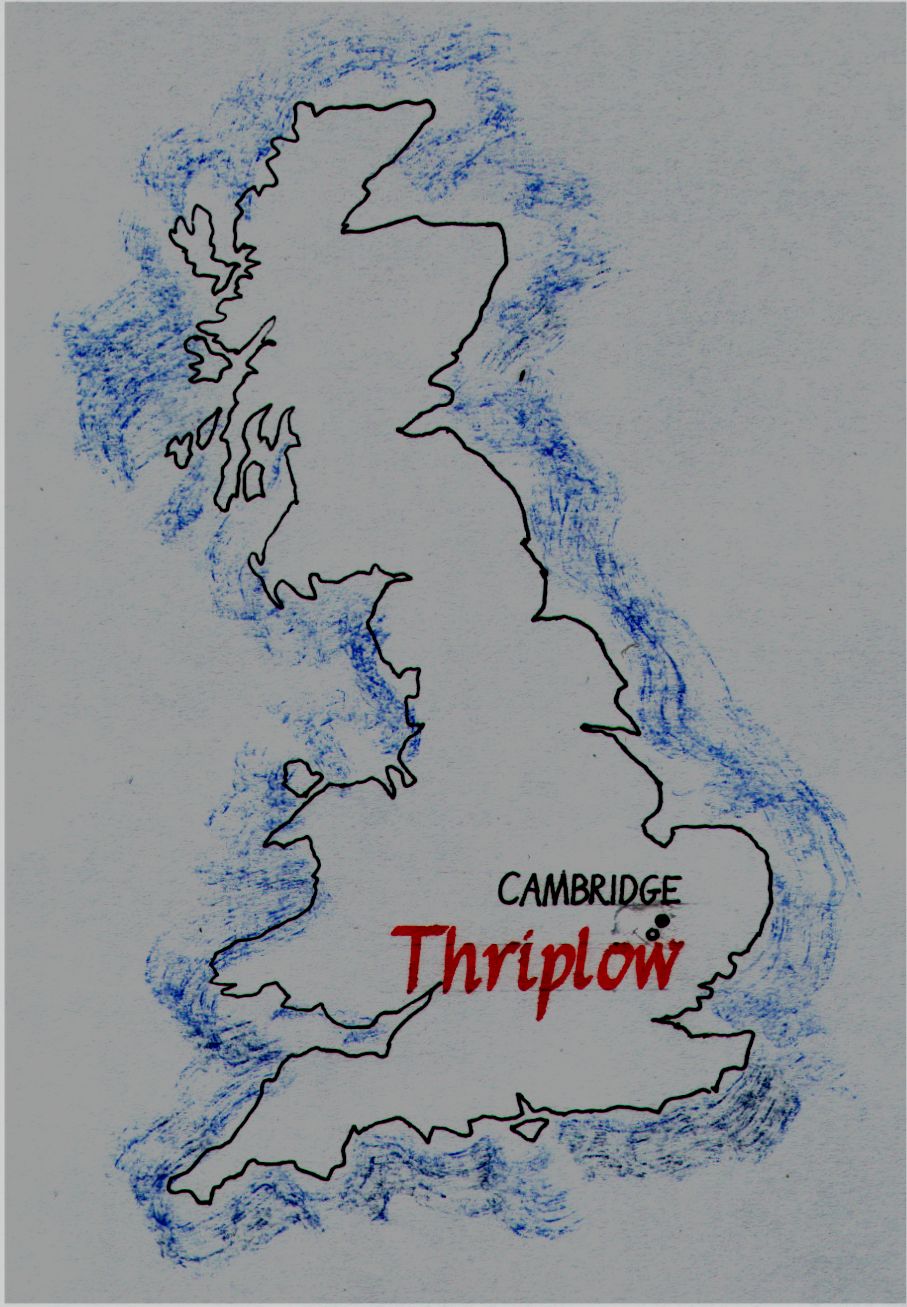
  Click here for details.

The village of Thriplow is about 6 miles south of Cambridge, England.

Photograph taken by Tony Jedrej, Countryside Agency.

Rounded Rectangular Callout: Why are the roads in a grid pattern?


We are a group of informed amateurs researching the origins of the village of Thriplow, Cambridgeshire.Rounded Rectangular Callout: Why are there no buildings beyond the church?

Links to more details
Documentary evidence Plane table surveying
Place name analysis Resistivity surveying
Aerial photography analysis Dowsing and pond dipping
Geology Courses and visits
Soil sampling Community links
Metal detecting Acknowledgements
So what have we found?
  • Evidence of Roman occupation, even some early coins.
  • Evidence of Saxon life but no cemetery.
  • The positions of many old footpaths, for how long were they in use?
  • An area with possible house platforms and a sunken lane.

But for every question we answer another arises.

With a grant from the Local Heritage Initiative we are building up a stock of resources with which we can help other groups interested in the history hidden under their parishes.


This project was supported by the
Local Heritage Initiative

                    with funds from:

Recent acquisitions include:

  • A personal navigator using the GPS to help us make accurate survey records.
    A two way radio so that we can communicate across large fields.
    A laptop computer  to process the results of surveying.
    A digital theodolite on a tripod to measure horizontal and vertical angles.
    A hand held laser meter to measure distances.
  • A levelling staff and ranging poles.
  • An auger to take soil samples.
  • A resistivity meter with interpretative software.